We don’t just create maps; we build intelligence. Our expertise transforms your data into actionable insights, helping you solve complex challenges and drive smarter decisions for your business and community.”
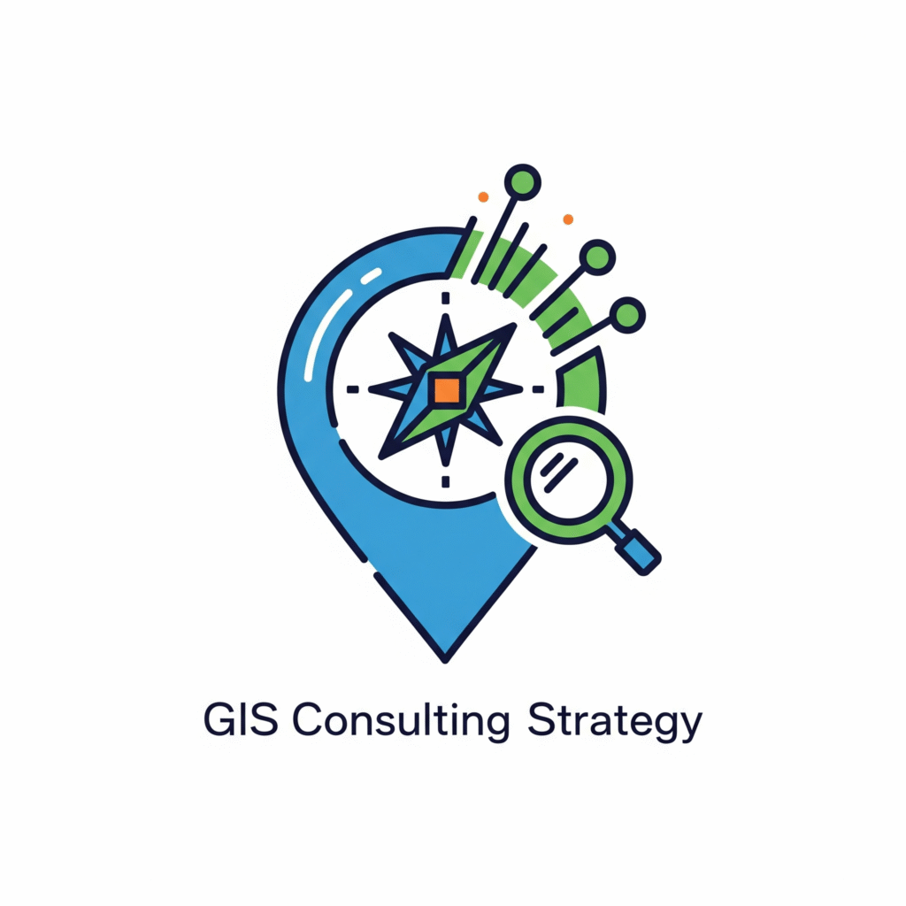
GIS Consulting & Strategy
We guide you in implementing and optimizing GIS technology, ensuring your geospatial initiatives are cost-effective and aligned with your business goals.
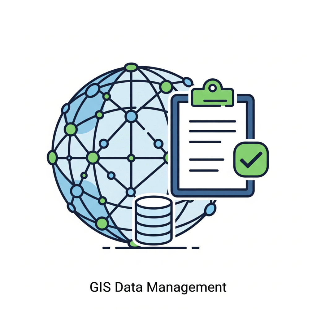
The quality of your data is everything. We handle the entire data lifecycle, including collection, cleaning, integration, and maintenance, ensuring your data is always accurate, current, and ready for analysis.
Empower your team with custom-built web and mobile applications. We design and develop user-friendly solutions tailored to your unique workflows, making it easy to collect data, track assets, and visualize information.
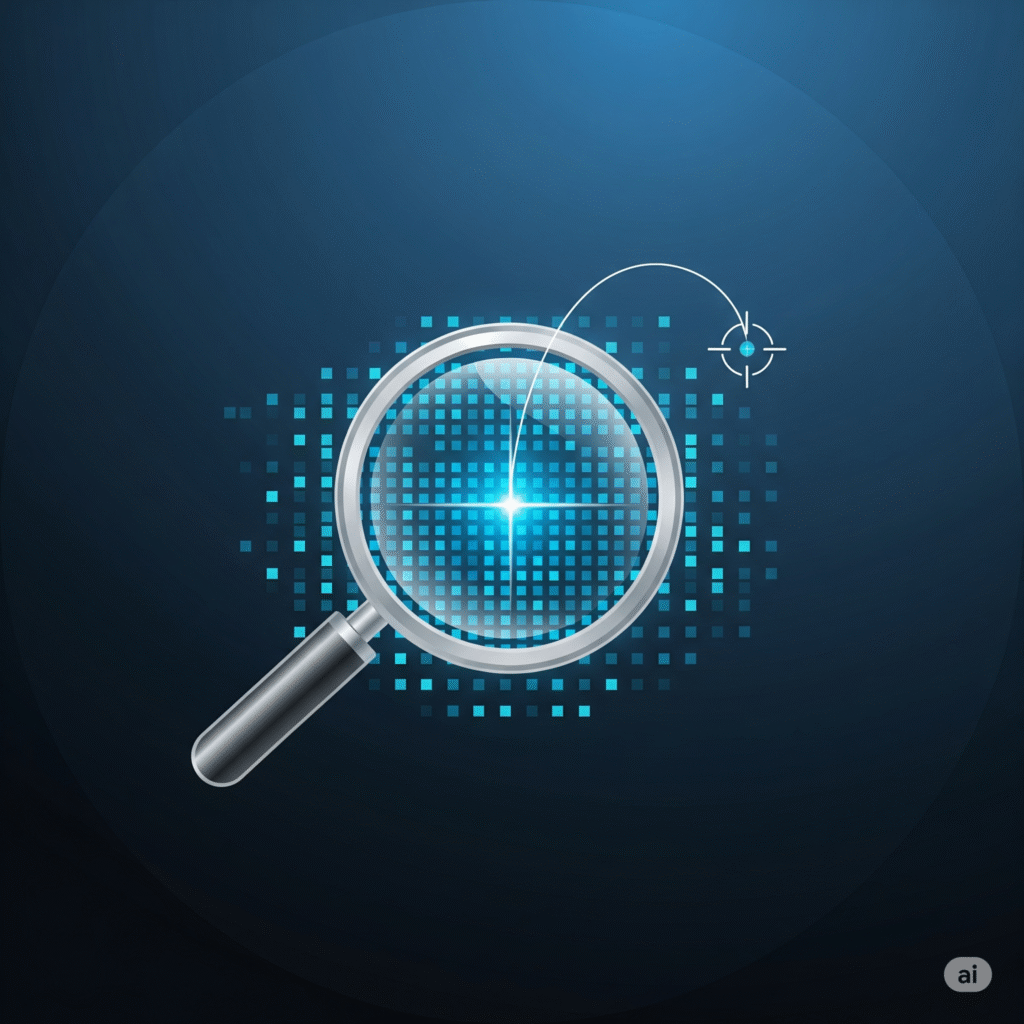
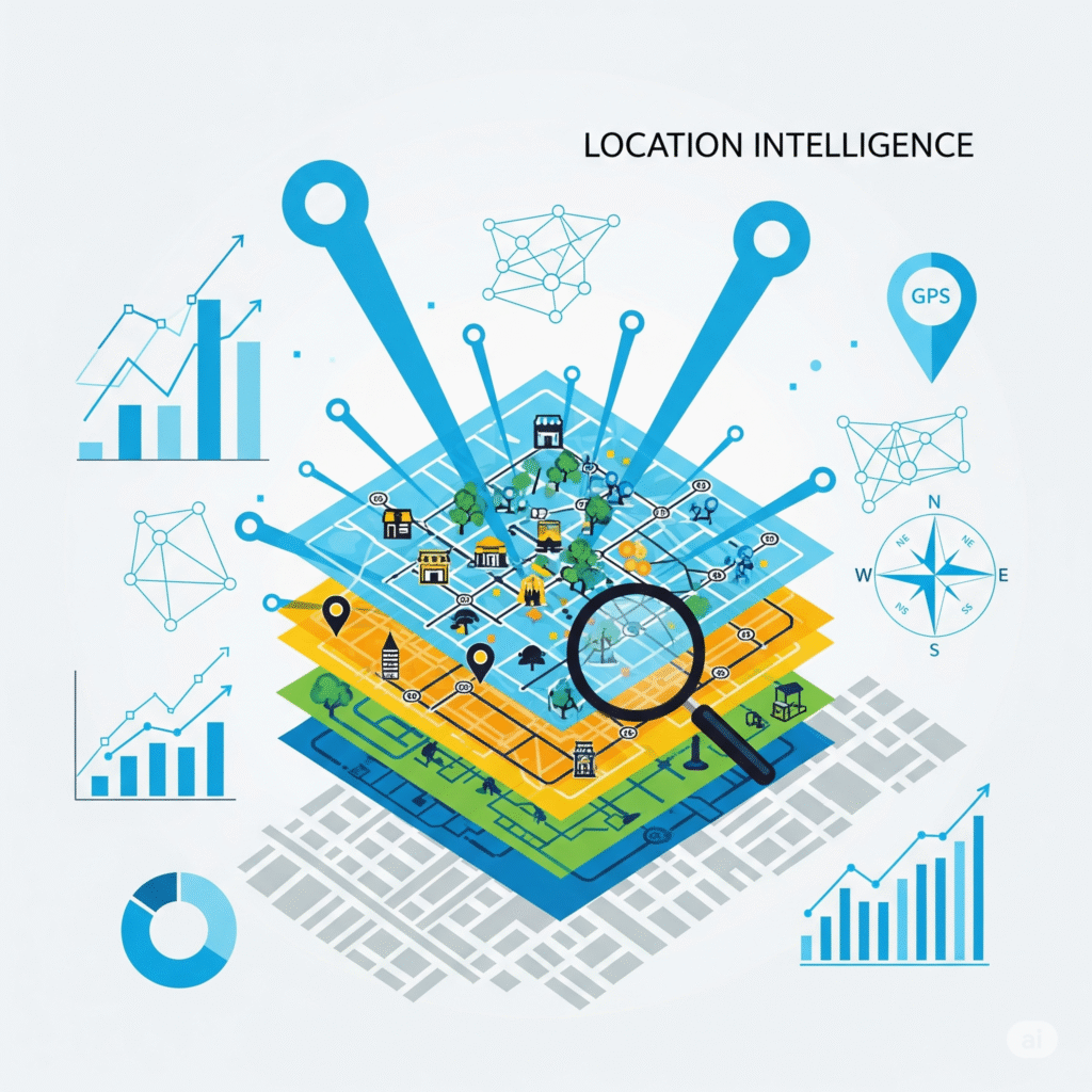
We transform raw location data into powerful business insights. Our analysts identify spatial patterns, trends, and relationships, helping you make smarter, faster decisions in areas like site selection, logistics, and market analysis.
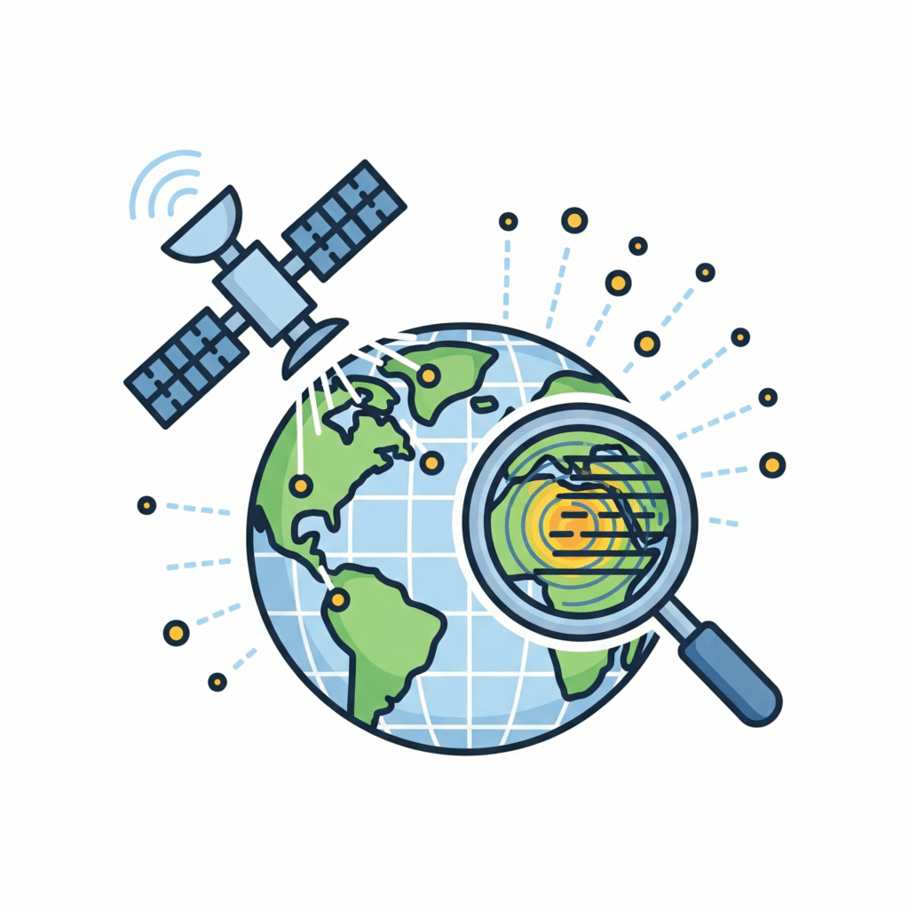
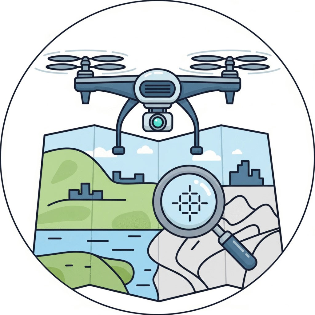
We use satellite and aerial imagery to monitor land use, track environmental changes, and assess infrastructure, providing high-level insights without the need for on-the-ground surveys.
We convert your physical maps, blueprints, and legacy data into precise, georeferenced digital formats. Our meticulous process creates a reliable and accurate foundation for all your geospatial projects.
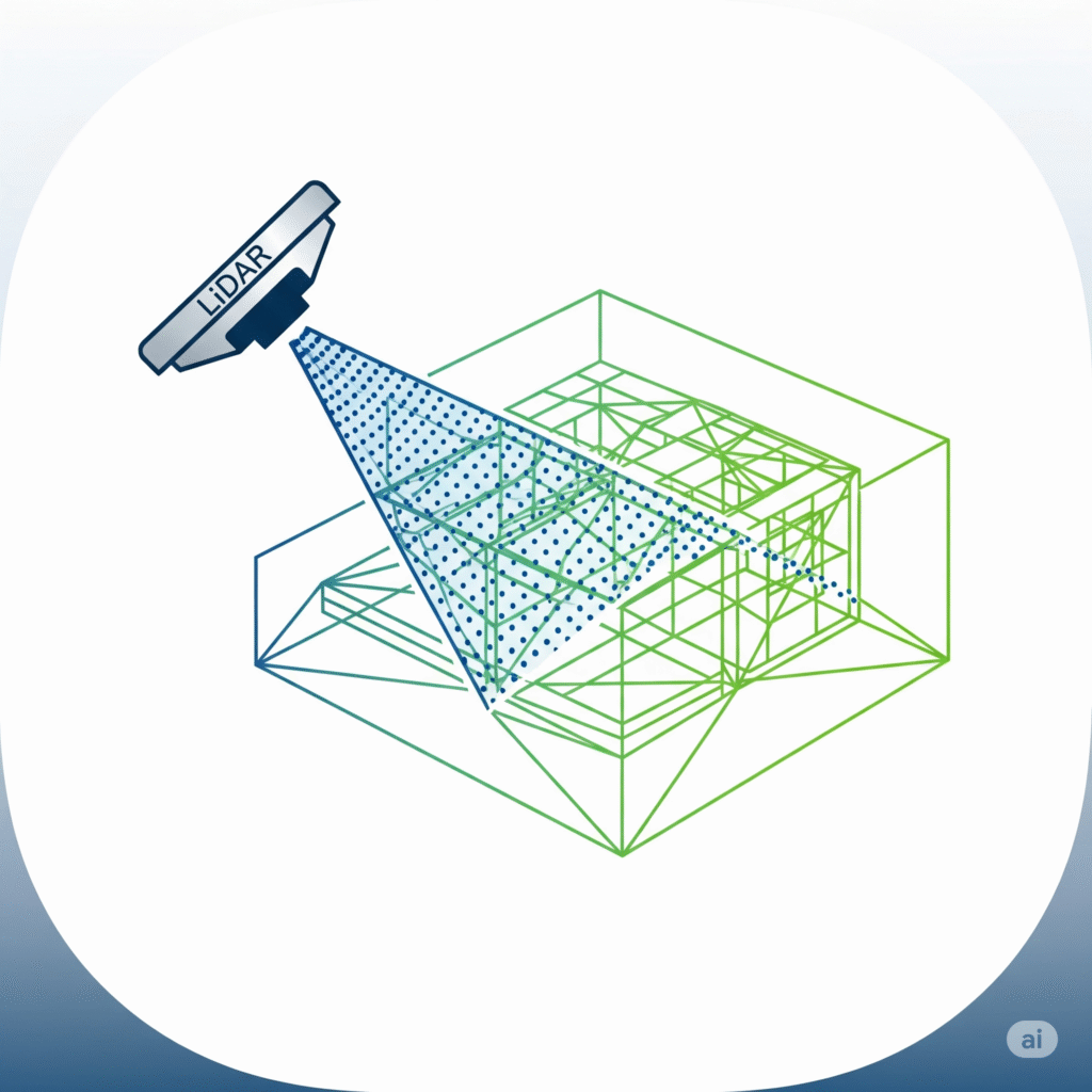
Get a highly accurate 3D view of your world. Our LiDAR services create detailed models of terrain, buildings, and infrastructure, perfect for urban planning, engineering, and asset management.
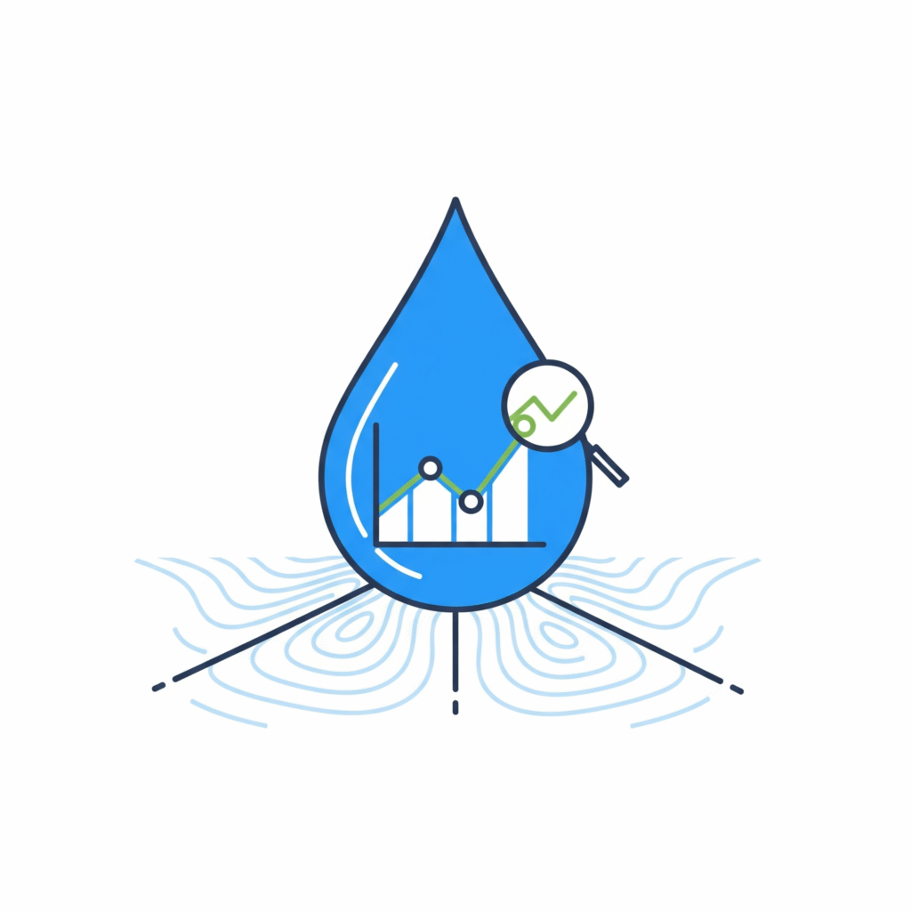
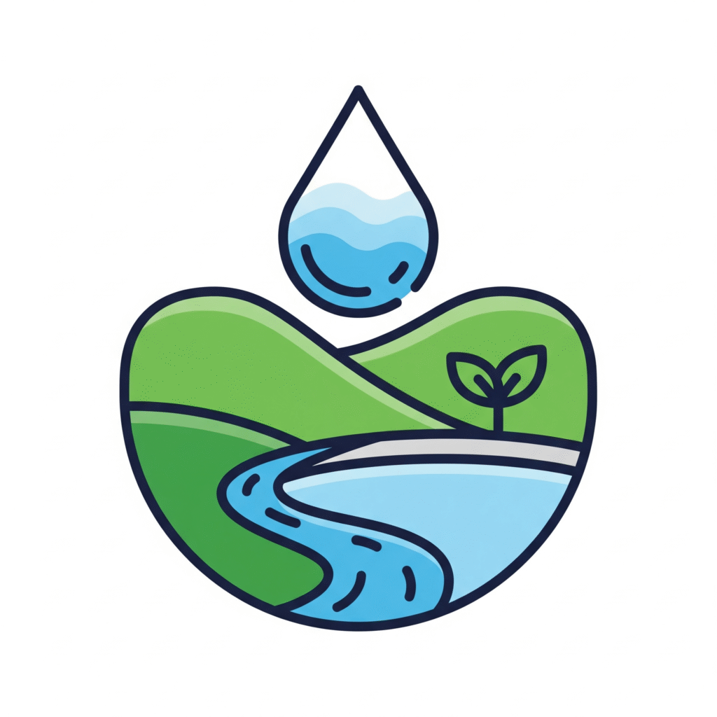
We provide comprehensive analysis to understand water movement, predict flood risk, and manage water resources effectively. Our services include watershed delineation, runoff modeling, and streamflow analysis.
We deploy state-of-the-art drones to capture high-resolution imagery and data, offering a cost-effective and flexible way to survey and monitor large or remote areas.
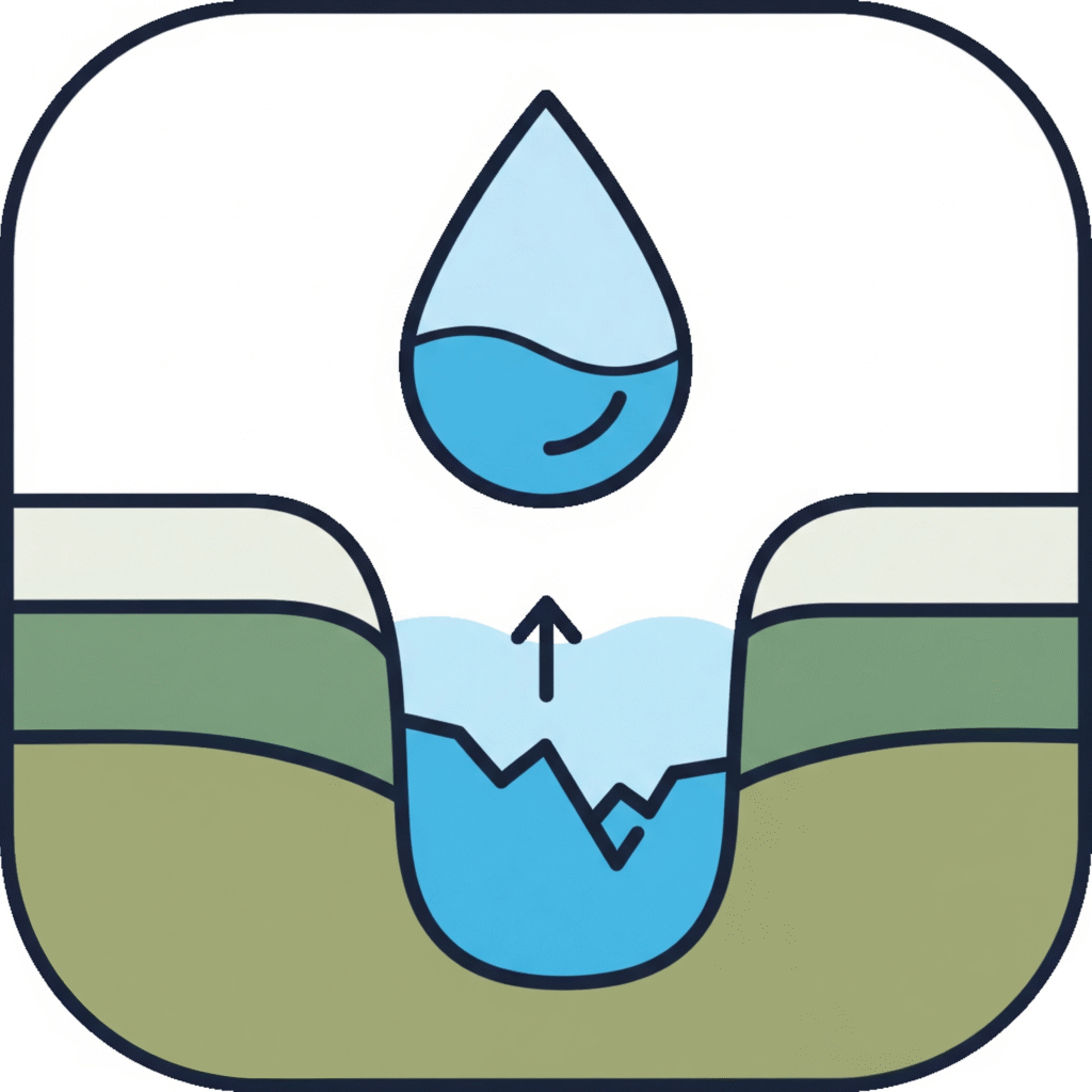
We specialize in the study of groundwater. Our services include aquifer mapping, groundwater flow modeling, and water quality analysis to support sustainable water supply management and risk assessment of contamination.
We go beyond simple mapping to provide deep insights into why things happen where they do. This service is invaluable for understanding customer behavior, optimizing retail locations, and improving supply chain efficiency.
We develop and implement strategies for integrated watershed management. Our approach combines geospatial analysis with ecological principles to reduce soil erosion, improve water quality, and enhance the overall health of the watershed.
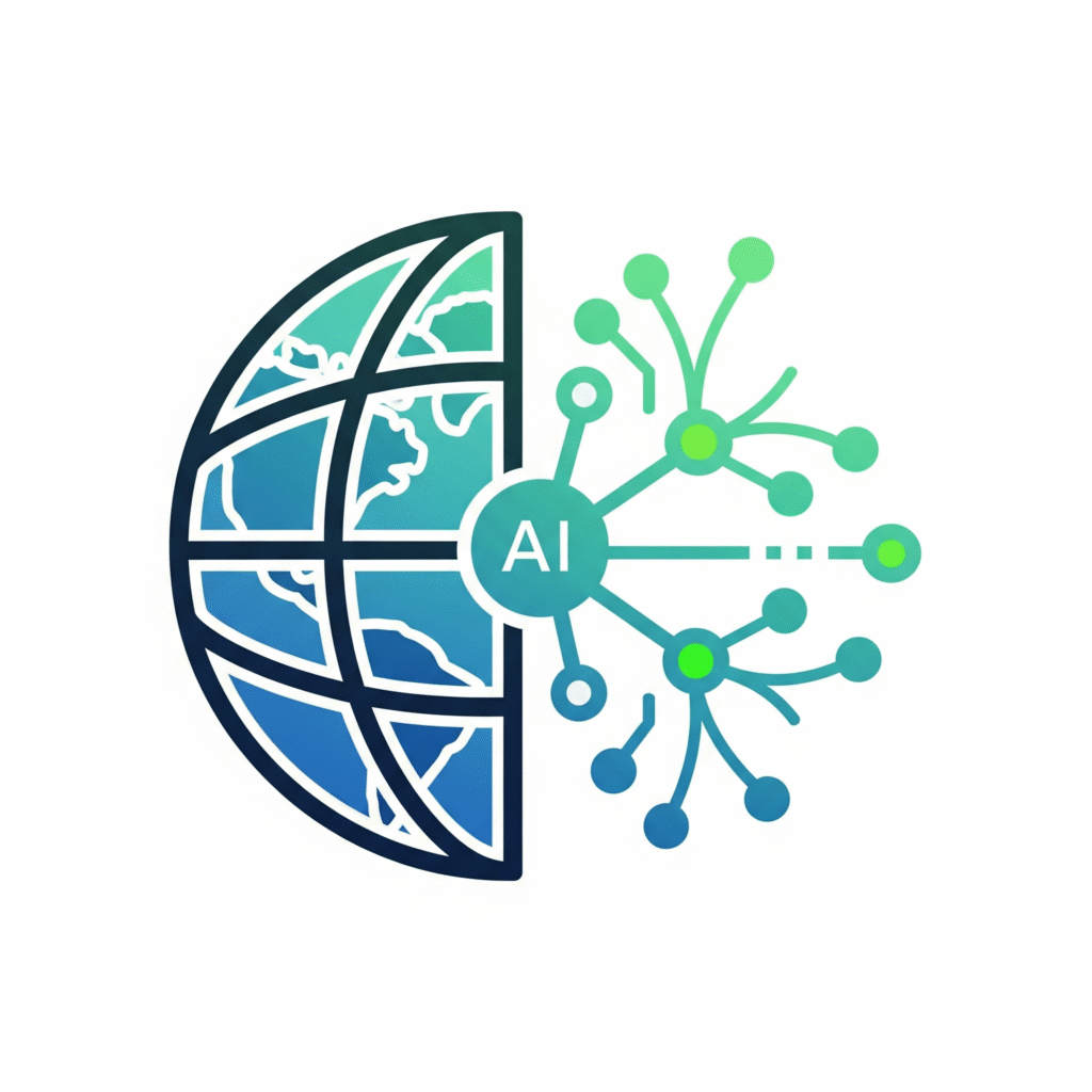
We utilize artificial intelligence to automate tasks such as feature extraction from imagery and build predictive models that forecast a range of outcomes, from infrastructure failures to market trends.
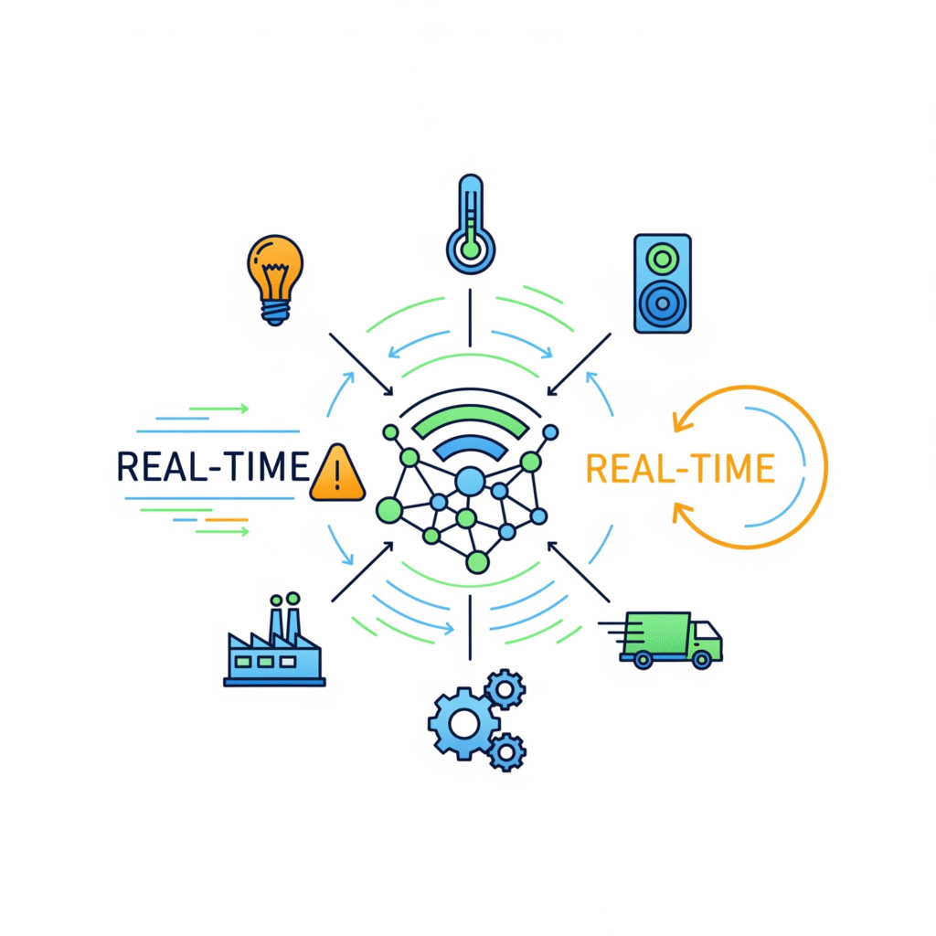
We connect your geospatial platform with IoT sensors, providing a live, continuous stream of data for monitoring assets, tracking fleet movements, and responding to events in real time.
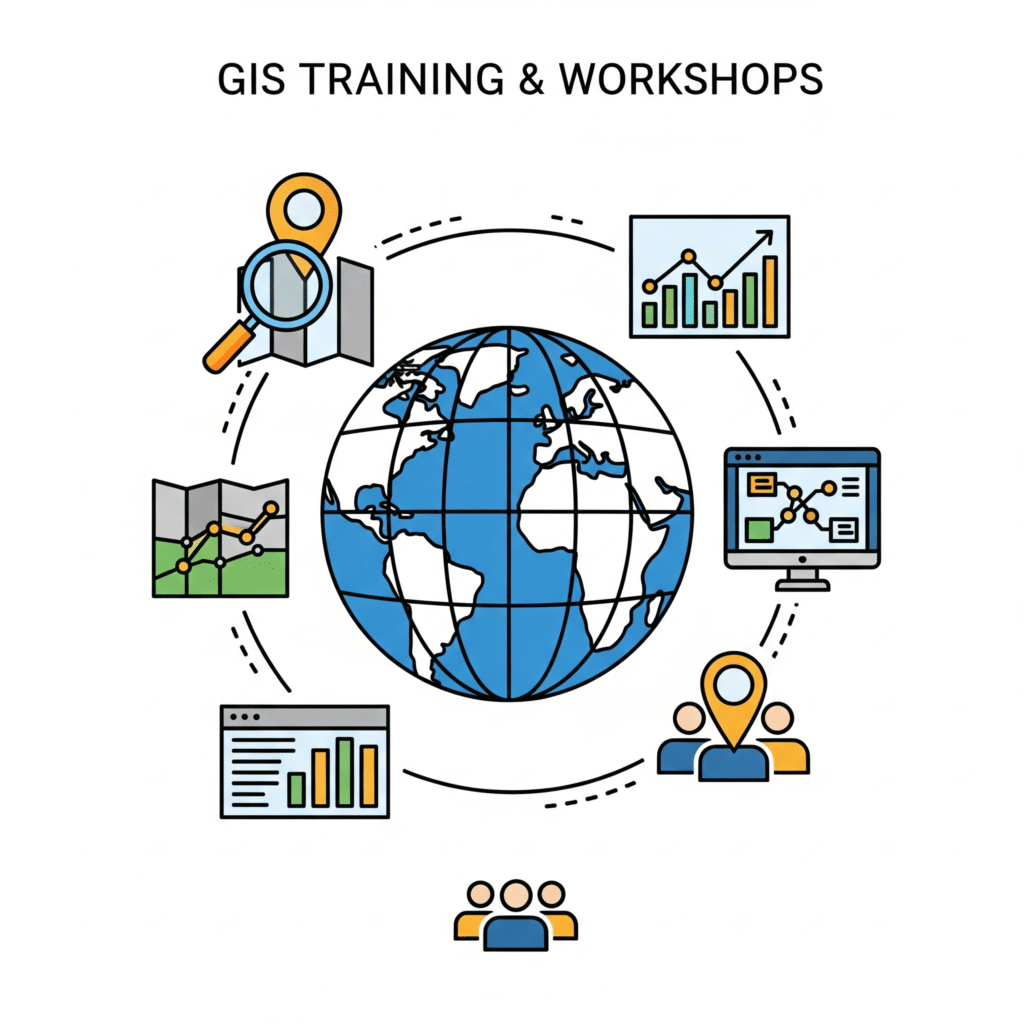
We offer hands-on training for your team to master GIS software and analytical techniques, ensuring you can make the most of your geospatial investments.